
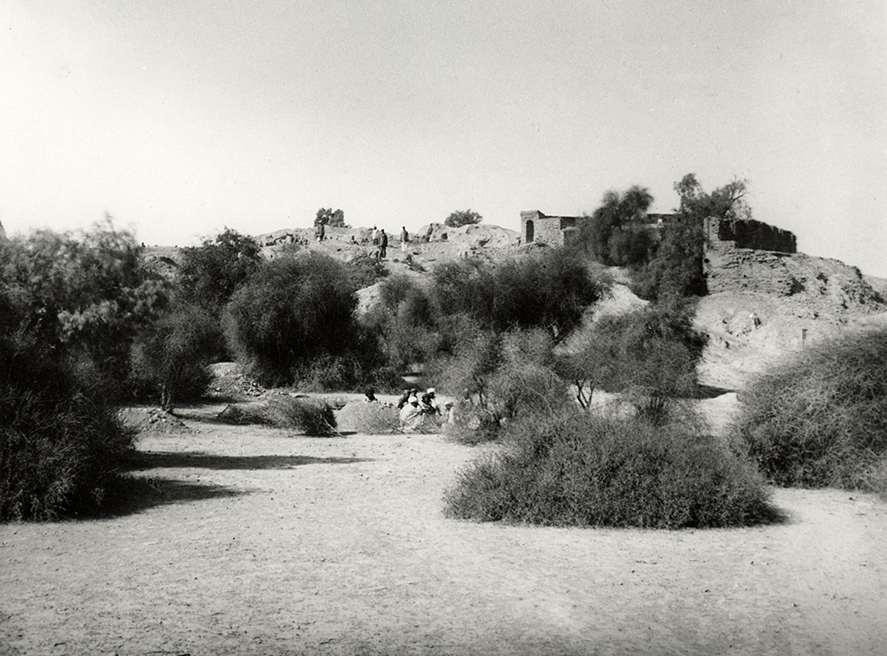
Published in ARASI 1924-25, Plate XXV (a). Title: ‘Harappa: Mound B, General View from East’.
“A large trench excavated in mound B (Plate XXV a) behind the Naugaza tomb during my operations of 1920-21 and 1923-24 had revealed fragments of solidly built structures. The past year's excavations show that the upper portion of this mound was re-occupied in later times, i.e., in the early centuries of the Christian era. One of these later remains came to light about six feet below the highest point of the mound. It is an irregular wall composed of brick-bats obtained from the site and mixed with bricks measuring 1’2” x 9 ½” x 2 ¼” which can be at once assigned to the Kushan or early Gupta period. Three feet lower down I found another structure composed of similar bricks and three fragmentary terracotta panels which must originally have belonged to it. … To the same late period I am now disposed to assign the circular brick granary which had been brought to light in this area at a depth of about 14' below the summit of the mound in 1923-24. Had it belonged to the Indo-Sumerian period it would certainly have been more systematically constructed and in all probability with wedge-shaped bricks.”
- Daya Ram Sahni, ARASI 1924-25, p. 76.
With reference to Sahni’s excavation of Mound B Vats noted: “In the northern portion of this mound, Rai Bahadur Daya Ram Sahni excavated a considerable area (B) in the years 1920-21, 1923-24 and 1924-25. He began by sinking a trial trench 55 ft. long by 20 ft. wide, a little to the west of and parallel to the tomb of Naugaza. This trench was extended to a length of over 160 ft., and later on, at right angles to it, he sank two subsidiary trenches towards the west which cut across the highest portion of the mound, the northern one distinguished as D trench, and the southern one as Bg. On these being linked up the whole excavation was called B (Pl. XXIX). This area is now an irregular polygon measuring some 160 ft. from east to west by 100 ft. from north to south increasing to 160 ft. along the eastern side.”
“... To avoid confusion on the part of the reader, a word must be said here in regard to the method of recording followed during the time of the Rai Bahadur. It appears that the depth of antiquities was then recorded sometimes from the highest point of the mound, that is to say from 590 ft. above the sea-level, and at others from the surface of the ground at the point where the find was made, which, as already mentioned, might be as much as 21 ft. lower.”
- Vats, M.S. 1940, Vol. I, p. 137.
NOTES:
The photograph depicts two groups of labourers; not the trench or excavations.
See Plate XXIX in Vats 1940, Vol. II, ‘Plan and Section of Trench B in Mound AB’.
This is the tomb of Naugaza, the sufi saint Nur Shah, which Vats reported was on a steep slope in area B of Mound AB and “constructed of bricks extracted from the ancient ruins”? [Vats 1940, Vol. I, p. 136].