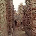
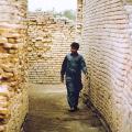
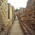
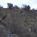
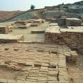
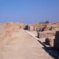
At Mohenjo-daro narrow streets and alleyways branch off of the major streets, leading into more private neighborhoods. Many of the brick houses were two stories high, with thick walls and high ceilings to keep the rooms cool in the hot summer months… >
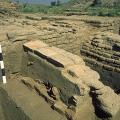
The doors of later buildings can be seen in the upper levels of the wall to the left. The gradual tapering of the walls in the far right was an intentional architectural feature to avoid collapse of the upper floors. >
Overview of Trench 39 North, looking at the Harappan and Late Harappan Period levels. The brick wall is part of a large building that was constructed with wooden beams and columns. In the foreground is a doorway and in the left background is an earl… >
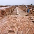
The main street running north south along the east edge of the Great Bath ends with this unique brick platform. The hollow sockets would have held wooden beams that may have formed a gate or traffic control device. A small alley leads directly east … >
Excavation of one buttress [99] shows how the silt and garbage from the street spilled into the hollow area from the outside of the "granary", eventually blocking it entirely. >
Looking south along the street to the east of the Great Bath. In the foreground is a unique brick platform with hollow sockets used to place upright beams that may have formed a gate or traffic control device. A large street drain covered with limes… >
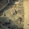
Inside the city wall were domestic structures with hearths and large jars, part of structures that had encroached onto what used to be street along the inner face of the wall (Trench 41NE). >
Looking north along the street to the east of the Great Bath. The building on the right is a single large structure called the College, and may have been the residence of priests or other elites (see Slide 38). >
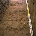
Superimposed street levels inside the city wall indicate that this area was kept clear until the last phase of the Period 3C occupation when structures were built encroaching onto the street (Trench 41NE) >