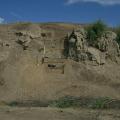
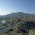
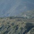
The winter sun rises over the site while the mist clings to the mounds. The mounds of the "lower town" are barely visible above the mist and in the foreground are the edges of brick structures belonging to the Buddhist monastery complex on the "cita… >
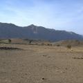
"Jean-Marie [Casal] pointed. 'There in front you see Siah Sang Pass—that is, Black Stone Pass.' "We had turned north towards a line of low, black mountains splashed with one white patch. As we drove into the black hills, a feeling of foreboding … >
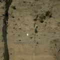
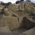
The eroded edges of the "citadel" mounds are covered with red brick dust and pottery, with traces of lighter mud brick revealing the underlying platforms that form the foundations of the uppermost buildings. This mound is encircled by a massive mud-… >
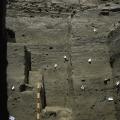
The expansion of Mundigak from Mound A to mounds B, D, E, F, G, H and I all seem to have happened in Period IV (2900-2400 BCE). "West of Mound A, Mounds B and D produced remains of an enclosing wall complete with square ‘bastions’. These structures … >
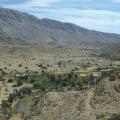
West of the "citadel" mound are lush farmlands watered by modern irrigation channels. A levee protecting the site from annual floods divides the irrigated land from the salt encrusted sediments surrounding the ancient site. The high salinity of the … >
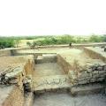
Sahni mentioned the highest mound at Harappa to be ‘the summit of the northern portion of Mound B”. This is one of the views of this portion, with a person, wearing glasses, standing. Of ‘brick-robbing’ at Harappa in the modern times, John Marsha… >
The pathway leading from VS to DK-I area follows the natural topography of the mounds. The eroding surface is littered with over fired nodules, pottery, brick fragments and other artifacts that are heavily encrusted with efflorescent salts. >
The UM excavations conducted by Dr. G. F. Dales in 1964-65 exposed a massive mud brick platform on top of which were built numerous brick buildings separated by narrow lanes. The pottery excavated from this area was used to develop the most comprehe… >