Home

Main navigation

  • home
  • slides
  • essays
  • articles
  • books
  • video
  • q & a
  • blog
Secondary menu
  • about us
    • scholars
    • privacy
    • support
    • image rights
    • credits
    • contact us
  • resources

UM Area, and Citadel Mound

  • Mohenjo-daro, UM Area, and Citadel Mound

The UM excavations conducted by Dr. G. F. Dales in 1964-65 exposed a massive mud brick platform on top of which were built numerous brick buildings separated by narrow lanes. The pottery excavated from this area was used to develop the most comprehe… >

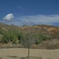
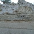
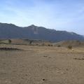
View of southwestern portion of the mound

View of southwestern portion of the mound (Niai Buthi). >

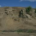
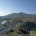
View of section IC, northeastern edge of mound

View of section IC, northeastern edge of mound (Niai Buthi). >

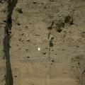
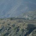
Trench II, western slope of the mound (Niai Buthi)

Trench II, western slope of the mound (Niai Buthi). >

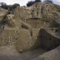
Trench II, levels 5 - 7 (Niai Buthi)

Trench II, levels 5 - 7 (Niai Buthi). >

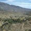
Toori, Loi Valley, from northwest

View of the early and late 3rd millenium BC site of Toori, Loi Valley, from northwest. >

Natural Hills

Kariya Buthi Mound I - III: natural hills with early third (center), late 3rd (right) and historic (left) sites on top. >

Bakkar Buthi, above the Kanrach River

Bakkar Buthi, above the Kanrach River, from north. >

Bakkar Buthi, view of areas B and A

Bakkar Buthi, view of areas B (foreground) and A (background). >

Trench 39 South

Excavations in Trench 39 South on Mound AB in 1996 revealed an extensive deposit of the Kot Diji phase occupation dating to between 2800 and 2600 BC. A geometric button seal (38) was found in the upper part of this rectangular Trench 39 South. White… >

Pagination

  • Page 1
  • Page 2
  • Page 3
  • Next page
  • Last page
© Harappa.com 1995-2026 31