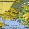
This map shows the networks that connected urban centers such as Mohenjo-daro and Harappa during the Harppan Period (2600-2000 BC) with their hinterlands and distant resource areas.In addition to these two cities, other known urban centers include D… >
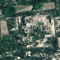
The Citadel is seen on the southern side with reservoir on the east. The major reservoirs are seen on the north and west side of the picture. [Which sides, top or bottom?] >
A 10 lettered signboard found in the western chamber of North Gate of Castle, (c. 2500-1900 BC). There are ten symbols in the panel. One symbol has been repeated four times. These symbols are indicative of use in Stage IV of Harappan Culture. These … >
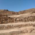
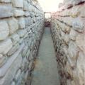
A broad and deep passageway with stairs and a high front terrace with connected pathways and on outward gentle slope. The entry from west gate leads to a set of reservoirs. Pillars and pilasters can be seen on the interior chambers of the west gate… >
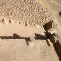
A water management system using storm water drainage. The storm water drain in the picture is located in the citadel and connected to an arterial one on the south of the Citadel. >
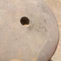
The limestone pillar members, found at Dholavira reminiscence of the Harappan culture. A circular cut base of the pillar is shown below. Pillar members have been found in various trenches around Dholavira. >
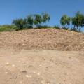
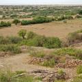
Lying on the western part of the city, the cemetery has an important significance in the culture of Dholavira. The cemetery covers a very large area with circular and rectangular shaped cenotaphs. The ruins, including the cemetery covers an area of … >
Pillar members in their original place in the Castle, Harappan period (c. 2500-1900 BCE). The east gate is quite elaborate with a large and elevated built-in chamber and a sunken passageway in front that connects to the stairs rising on the interior… >